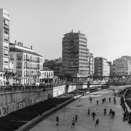
City Mapping is a method of exploring urbanity and marginalization.

If you use City Mapping as an educational activity you can introduce the students to the themes Urbanity and Migration. In advance let the students read articles about the city’s development historically in the west. Specifically find articles about the country and city your mappings will be done in. It could, for example, be articles about different strategies for planning large cities.
As a teacher you can also introduce theoretical concepts such as: Urbanization, industrialization, territorial stigma, marginalization, gentrification.
Based on a Danish context, it is also important to review initiatives and policies such as the neighborhood promise, the area renewals, comprehensive plans, policy for vulnerable housing areas, the parallel society package, etc.
After the introduction, the students are given the task of choosing a local area as a case for their research work.
A city mapping consists of examining the selected area in two different ways:
To map the area of your choice, you must provide knowledge that can answer the following questions:
If there are words you do not understand then it is part of the task to find out what it / they mean — it could, for example, be “demographics”.
An exploratory approach as part of the fieldwork means that you are not looking for something specific, but that you are exploring the place. You must both move around and, for example, sit on a bench while observing:
You must note:
and
Stay on site for a while.
Remember: GPDR, (research) ethics and general orderliness
Remember again GPDR, ethics, propriety, etc.
After the assignments are completed, the team gathers, where the groups present their research work, and the teachers relate the students’ preliminary work to theories, concepts and research studies.
Contact: Ph.D., Associate Professor Ditte Tofteng, Copenhagen University College DITO@kp.dk